Total Irrigation Consultancy
Irrigation Consultancy and Design Services Australia
Main menu
Skip to primary content
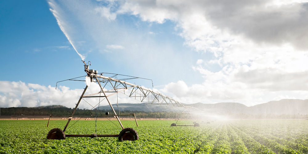
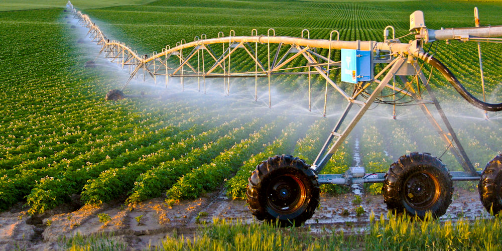
Irrigation
What We Do
Project Examples
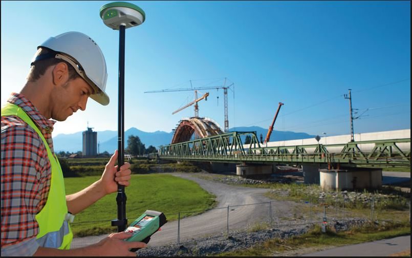
GPS Survey
Contact Us
GPS Survey